Ancient Engineering · Beneath the Sea of Galilee (Lake Kinneret), Israel

The Sea of Galilee Stone Structure

A 60,000-tonne cone of basalt boulders on the lakebed — deliberately built, undeniably huge, and still undated.

Mainstream: Proposed Early Bronze Age, c. 3000–2000 BC (uncertain; based on regional parallels)Alternative: No fringe 'ancient civilisation' claim — the open question is simply the true age, since it has never been excavated or directly dated32.70°, 35.53°

At a glance

The Sea of Galilee Stone Structure
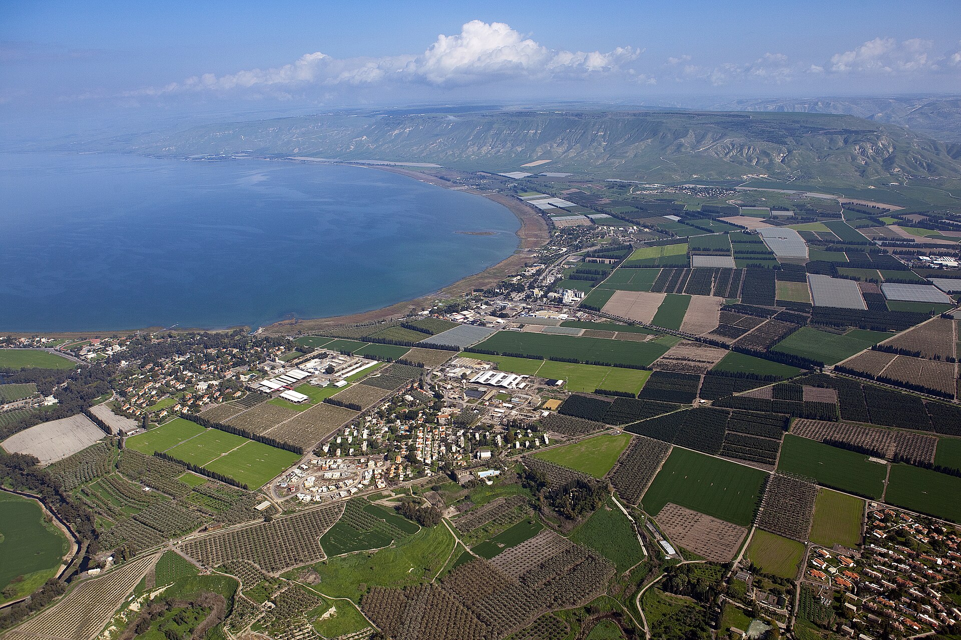
Photo: Itamar Grinberg / israeltourism (Flickr) · CC BY-SA 2.0

Somewhere on the floor of the Sea of Galilee, under about nine metres of water, sits a conical mound of basalt boulders roughly 70 metres across and up to ten metres high, weighing on the order of 60,000 tonnes. It was picked up by chance in 2003 during a sonar survey of the lakebed and only reported to the wider world a decade later. The boulders are natural and unhewn, but they have plainly been gathered and piled by human hands — no natural process heaps basalt cobbles into a structure this size and shape. What it is, when it was made and why nobody knows, because it has never been excavated and the water above it keeps its secrets.

See it on the globe →
The mainstream view

What archaeology says

The structure was identified and described by an Israeli team including the geophysicist Shmuel Marco of Tel Aviv University, with archaeologists Yitzhak Paz, Dani Nadel and Gonen Sharon among those who studied and published on it in the International Journal of Nautical Archaeology. They characterise it as a monumental cairn: a conical pile of large basalt cobbles and boulders, some of which would have had to be carried hundreds of metres to the site, representing an enormous investment of coordinated labour.

Dating is the central problem. With no excavation, no artefacts and no radiocarbon samples, the age rests on regional analogy. The team notes that the only period in this region when megalithic building is tied to settlement is the Early Bronze Age, roughly the late fourth to late third millennium BC, and points to nearby Bet Yerah — a major Early Bronze Age town with monumental fortifications on the lake's southern shore — as the kind of organised society that could have raised it. On that reasoning a date somewhere around 3000–2000 BC is proposed, but explicitly as a best guess, not a measured result.

Function is equally open. The leading interpretation is that it was built above the ancient shoreline and later submerged as the lake rose — most likely a burial cairn or a monumental marker requiring the planning and economic muscle of a complex society. Researchers are candid that only underwater excavation will settle both its age and its purpose.

Key evidence cited
  • Sonar imaging showing a clearly artificial 70-metre conical pile of basalt boulders on the lakebed
  • An estimated 60,000 tonnes of unhewn basalt, some transported hundreds of metres, implying organised labour
  • Study and publication by Marco, Paz, Nadel and Sharon in the International Journal of Nautical Archaeology
  • Regional parallels tying megalithic building to Early Bronze Age settlement, pointing to a c. 3000–2000 BC date
  • Proximity to Bet Yerah, a major Early Bronze Age town with monumental fortifications on the same lake
The alternative view

What the skeptics propose

Unusually for a mysterious submerged megalith, the Sea of Galilee structure has not been colonised by lost-civilisation theorising — its scale is impressive but its Bronze Age framing is broadly accepted, and the disagreements are technical and interpretive rather than fringe. The real contest is between competing functional explanations, each with reasonable support.

The first is the burial-cairn reading favoured by the excavating team: heaping stone over a grave is one of the oldest monumental habits in the Near East, and a cairn of this size would befit an important person or lineage. The second, floated early on, is far more prosaic — that it is, or became, a fish nursery. The Sea of Galilee does contain smaller stone piles built to shelter and attract fish, and some wondered whether this was simply a giant example. Most researchers doubt this, because the sheer scale and the effort of transporting the boulders seem out of proportion to fishery use, but it remains on the table. A third possibility is that the mound is not a freestanding monument at all but part of a larger complex — a rampart, revetment or fortification wall of a settlement now drowned, comparable to the defences at Bet Yerah.

Steelmanning each: the cairn theory best explains the deliberate conical form and the labour investment; the fish-nursery theory best explains why such a structure sits in a lake at all and connects to a documented local practice; the fortification theory best explains the transport of so much stone if the mound is only the surviving fragment of something larger. Because the structure has never been dug, none of these can be ruled out, and the honest position is that the Sea of Galilee is holding onto a genuinely open archaeological question.

Key evidence cited
  • The burial-cairn interpretation, matching the deliberate conical shape and huge labour investment
  • The fish-nursery interpretation, connecting it to documented stone fish-shelters in the same lake
  • The rampart or fortification interpretation, casting it as part of a larger drowned settlement
  • The complete absence of excavation, artefacts or direct dating, leaving all three readings viable
  • The uncertainty of the Bronze Age date, which rests entirely on regional analogy rather than measurement

Genuinely open questions

  1. How old is the structure really, given it has never been excavated or directly dated?
  2. Is it a burial cairn, a fish nursery, or part of a larger drowned fortification?
  3. Was it built on dry land above an ancient shoreline and later submerged, or constructed in shallow water?

Worth knowing

The mound weighs an estimated 60,000 tonnes and is wider than a Boeing 747 is long — yet it was found entirely by accident during a routine sonar survey of the lakebed.