Lost Worlds · Vatika Bay, Laconia, Greece

Pavlopetri

The oldest known submerged town plan on Earth — streets, houses and tombs still legible on the seabed after 5,000 years.

Mainstream: Occupied from c. 3500 BC (Final Neolithic–Early Bronze Age) to c. 1100 BC; submerged by earthquake-driven subsidence around 1000 BCAlternative: Date largely undisputed — popular writers instead deploy Pavlopetri as proof that 'sunken city' legends like Atlantis rest on real events36.52°, 22.99°

At a glance

Pavlopetri
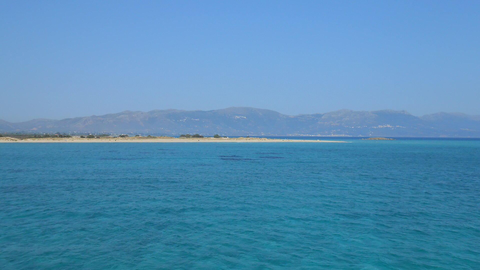
Photo: annagkai · CC BY-SA 4.0

In the shallows of Vatika Bay in southern Laconia, between Pounta beach and the islet of Pavlopetri opposite Elafonisos, an entire Bronze Age town lies in three to four metres of water. First noted by geologist Fokion Negris in 1904 and rediscovered in 1967 by oceanographer Nicholas Flemming, Pavlopetri preserves a complete, coherent town plan: streets, some 50 rectangular buildings with courtyards, two-storey house foundations, and at least 37 stone-lined cist graves, with a chamber-tomb cemetery on the adjacent shore. Ceramics show occupation from about 3500 BC, making it the oldest known submerged town in the world — not a palace or fort, but an ordinary working harbour town, frozen at the moment the sea took it.

See it on the globe →
The mainstream view

What archaeology says

After Flemming's 1967 discovery, a Cambridge University team surveyed the site in 1968 with tapes and snorkels, mapping fifteen buildings, courtyards and graves. Four decades later, the Pavlopetri Underwater Archaeology Project (2009–2013), directed by Jon Henderson of the University of Nottingham with Elias Spondylis of the Greek Ephorate of Underwater Antiquities and the Australian Centre for Field Robotics, resurveyed the town using stereo-photogrammetry, sector-scanning sonar and robotic mapping — making Pavlopetri the first submerged town digitally recorded in true three dimensions. The project added over 9,000 square metres of new buildings, including a large rectangular hall and a street lined with structures, bringing the mapped town to roughly four hectares, with estimates up to eight.

Recovered ceramics run from the Final Neolithic and Early Helladic (c. 3500–2000 BC) through a flourishing Mycenaean phase (c. 1600–1100 BC), when Pavlopetri operated as a port town in Aegean trade networks — pithos fragments, loom weights and imported wares point to textiles and commerce. The town's drowning was not a flood-myth cataclysm in the popular sense: this stretch of Laconian coast is tectonically subsiding, and a combination of earthquakes and gradual sea-level change lowered the site by several metres, with submergence conventionally placed around 1000 BC.

Since the 2011 BBC documentary 'City Beneath the Waves' made it famous, conservation has become the pressing issue: large ships anchoring in Vatika Bay, hull pollution and shifting sediments threatened the ruins, and Pavlopetri was placed on the 2016 World Monuments Watch. Greece published protective coordinates in 2018, establishing a buffer zone banning anchoring and fishing over the site, now marked by buoys and on navigation charts.

Key evidence cited
  • Ceramics spanning c. 3500–1100 BC, from Final Neolithic through Mycenaean, recovered across the town grid
  • A complete legible town plan — streets, ~50 buildings, courtyards and 37+ cist graves — mapped in 3D by the 2009–13 Nottingham project
  • Known tectonic subsidence of the Laconian coast providing a documented submergence mechanism
  • Continuity between the underwater town and the chamber-tomb cemetery on the adjacent shore
  • Trade goods, pithoi and loom weights consistent with an ordinary Bronze Age port economy
The alternative view

What the skeptics propose

Pavlopetri attracts remarkably little fringe dispute over its dating — which is exactly what makes it valuable to alternative historians. Graham Hancock and writers in his tradition cite sites like Pavlopetri and Atlit Yam as demonstrations that towns genuinely do vanish beneath the sea, that their memory can persist in oral tradition, and that archaeology systematically under-samples coastlines. If a town could sit in three metres of water beside a popular Greek beach and wait until 1967 to be recognised, the argument runs, then dismissing drowned-city traditions — from Atlantis to the Breton Ys to India's Dvaraka — as pure fable is premature. Flemming himself, though a firm sceptic of Atlantis, spent his career cataloguing hundreds of submerged Mediterranean settlements, lending the general point mainstream respectability.

Popular media regularly frame Pavlopetri as 'the real Atlantis', and some enthusiasts note the coincidence that Plato's Atlantis was destroyed by earthquake and submergence — the same mechanism, if not the same scale, that took Pavlopetri down. A handful of writers have pushed further, suggesting Aegean submergence events of the Bronze Age (including the Thera eruption's effects elsewhere) seeded the Atlantis story, with Pavlopetri as a surviving example of the class of drowned towns Plato's tale garbled.

Mainstream archaeologists are relaxed about most of this: they agree coastal prehistory is under-explored, agree Pavlopetri proves towns drown, and simply insist on the boring particulars — the town sank slowly by tectonic subsidence around three millennia ago, long after its heyday, and nothing about it requires or supports a lost civilisation. The genuinely open questions are archaeological: how far the town extends under the sand, where its harbour installations lie, and what systematic excavation — which has never been carried out — would reveal.

Key evidence cited
  • Proof-of-concept that whole towns drown and lie unnoticed for millennia even in shallow, busy waters
  • Flemming's own catalogue of hundreds of submerged Mediterranean settlements, showing how much coastal prehistory is underwater
  • Earthquake-and-submergence destruction matching the mechanism Plato attributes to Atlantis
  • The town's rediscovery only in 1967 despite lying metres from a popular beach — a caution against arguments from absence
  • Persistent local and literary traditions of drowned cities across the Mediterranean world

Genuinely open questions

  1. How far does the town extend beneath the sand, and where are its harbour works?
  2. What was Pavlopetri's ancient name, and which Bronze Age polity did it serve?
  3. Can the site be stabilised against anchoring damage, pollution and shifting sediment before more of the plan is lost?

Worth knowing

Pavlopetri was mapped in 2009–13 with robotic stereo-photogrammetry developed for exploring other planets — making a 5,000-year-old Greek town the first submerged settlement on Earth to be digitally reconstructed in full 3D.