Ancient Knowledge · Turgai (Torgay) region, northern Kazakhstan

The Steppe Geoglyphs of Turgai

Hundreds of giant squares, crosses, rings and a swastika drawn in earthen mounds across the Kazakh steppe — found by an amateur on Google Earth.

Mainstream: c. 800 BC – AD 800 (Iron Age construction indicated by OSL dating of mound fill)Alternative: c. 6000–5000 BC proposed via links to the Neolithic Mahandzhar culture50.83°, 65.33°

At a glance

The Steppe Geoglyphs of Turgai
Photo: European Space Agency · Attribution

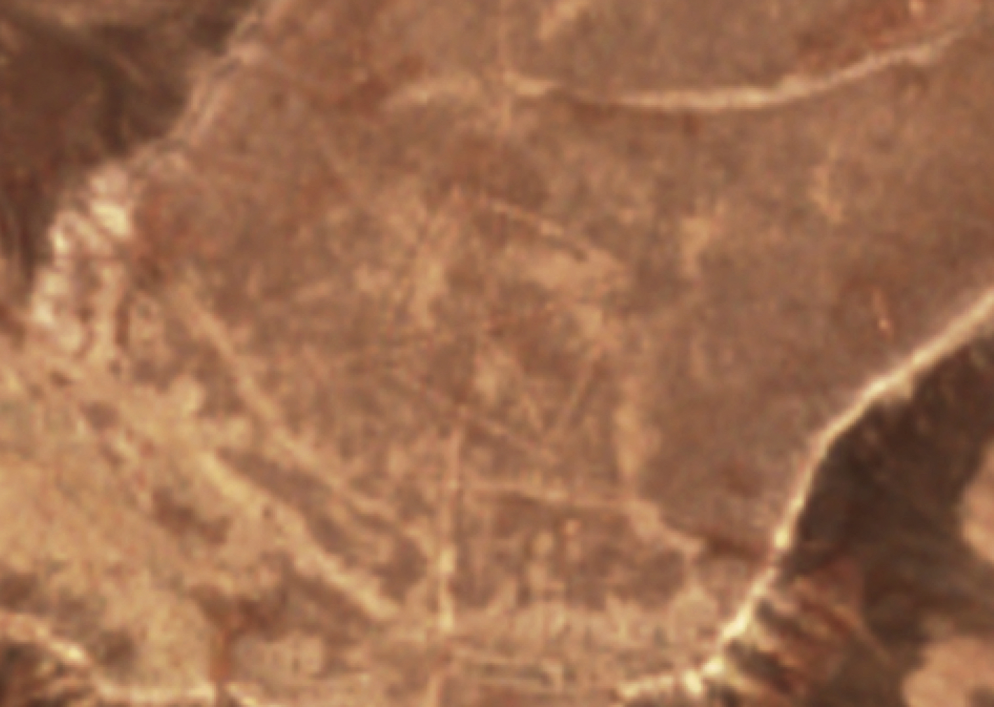
In 2007 a Kazakh economist and archaeology enthusiast named Dmitriy Dey, inspired by a documentary on the Nazca Lines, began scanning satellite imagery of his home region — and found enormous geometric figures no one knew existed. The Turgai (or Torgay) geoglyphs now number over 260 recorded features: the Ushtogay Square, 101 earthen mounds forming a perfect square with diagonal cross larger than the Great Pyramid's footprint; the three-armed Turgai 'swastika'; giant rings and crosses, most between 90 and 400 metres across. Built from mounds of earth roughly a metre high and ten metres wide, they are essentially invisible at ground level. NASA astronauts photographed them from the International Space Station in 2015, propelling the discovery to world attention.

See it on the globe →
The mainstream view

What archaeology says

Archaeologists Andrey Logvin and Irina Shevnina of Kostanay State University, working with Dey, have excavated several mounds and recovered hearths, artefacts and datable material. Optically stimulated luminescence dating of mound construction at the Ushtogay Square points to the early Iron Age, around 800 BC, with use possibly continuing into the medieval period — the era of mobile pastoralist cultures on the steppe, whose kurgan burial mounds and ritual enclosures are well documented across Eurasia. On this reading the geoglyphs are monumental territorial or ritual markers: statements of presence by nomadic groups, laid out with simple geometry, rope and pacing, and meant to be understood from the ground as arrangements of mounds rather than viewed from above.

Researchers emphasise that the figures' 'aerial visibility' is an artefact of how we found them, not of how they were used — a low mound line reads perfectly well as a boundary or processional alignment to someone walking it. Kazakhstan's government has moved to protect the sites, and survey teams (including a NASA-assisted imaging effort in 2015) continue to identify new figures, many damaged by Soviet-era agriculture.

Key evidence cited
  • OSL dating of Ushtogay Square mound construction to c. 800 BC, the early Iron Age
  • Hearths and artefacts from excavated mounds consistent with known steppe pastoralist cultures
  • Kurgan-building traditions across Eurasia providing clear cultural context for monumental earthmoving
  • Ground-level legibility of mound alignments, removing any need for aerial viewing
  • Ongoing Kostanay University excavations with Logvin and Shevnina anchoring the figures to documented periods
The alternative view

What the skeptics propose

Dey himself proposed a far older and more ambitious interpretation: he linked the geoglyphs to the Mahandzhar culture, Neolithic communities that lived along the Turgai rivers between roughly 7000 and 5000 BC, and suggested the figures were 'horizontal observatories' for tracking the sun — which, if true, would make them thousands of years older than Stonehenge and among the oldest monumental constructions on Earth. The sheer scale of the Ushtogay Square, requiring an organised workforce moving thousands of cubic metres of earth, sits awkwardly with the standard picture of small mobile bands on the Neolithic steppe, and proponents argue that only a long-lived, cooperative culture with a strong symbolic tradition could have produced a coherent regional system of figures.

The wider alternative literature folded the Turgai discovery into familiar frames: the figures' geometric precision and 'made to be seen from above' quality attracted the same ancient-astronaut commentary that follows Nazca, and the swastika form prompted speculation about deep Indo-European or shamanic sun symbolism. Mainstream researchers reply that the OSL dates directly contradict the Neolithic attribution, that steppe cultures demonstrably built large earthworks without outside help, and that the swastika was a common solar motif across ancient Eurasia millennia before its modern corruption. But they concede the honest core of the mystery: only a fraction of the features have been excavated, and no one yet knows what most of them were for.

Key evidence cited
  • Dey's proposed association with Mahandzhar culture settlements along the ancient Turgai waterways
  • The Ushtogay Square's scale and geometric regularity implying organised, planned labour
  • Claimed solar alignments supporting a 'horizontal observatory' function
  • Over 260 figures forming what proponents read as a coherent regional symbolic system
  • Most features remain unexcavated, leaving the earliest possible dates untested

Genuinely open questions

  1. What function did the squares, rings and crosses actually serve — territorial, ritual, astronomical, or all three?
  2. Why does this concentration of giant figures exist in Turgai and apparently nowhere else on the steppe?
  3. Will excavation of further figures confirm the Iron Age dates or reveal older construction phases?

Worth knowing

Dmitriy Dey found the first figure on 12 March 2007 while checking whether a documentary's claim about Nazca could apply to Kazakhstan — within hours of opening Google Earth he had discovered the Ushtogay Square, a monument larger than the Great Pyramid's base that had sat unnoticed under the steppe grass for nearly three thousand years.